
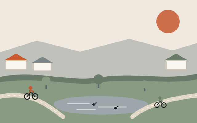
At a glance: The 1970s are the decade Scottsdale out-stubborned the Army Corps of Engineers. The Corps had planned a concrete channel since the early 1960s; Scottsdale insisted on grass, lakes, and bike paths that could flood gracefully; and floods in 1970 and 1972 settled the argument. The result — the Greenbelt — rewrote American flood-control practice. Meanwhile a legendary horse ranch became the state’s model suburb, and the city kept stretching north and east.
Labor Day 1970: the wash collects its rent
Scottsdale had spent two boom decades building subdivisions across a dry riverbed, and over Labor Day weekend 1970 the riverbed took payment. The remnants of a tropical storm killed 23 people across central Arizona. In Scottsdale the overloaded Arizona Canal broke near Pima Road at about 8 p.m., water poured into a subdivision built in the wash, and Indian Bend Wash flooded homes, trailer parks and businesses along its length; more than 250 homes were evacuated, the U.S. Geological Survey reported. Two hundred nineteen homeowners later won damages from the canal’s operator (see September 5, 1970).
Nobody could now argue the wash didn’t need engineering. The fight was over what kind.
Grass, not concrete
The Army Corps of Engineers’ answer, planned since the early 1960s and authorized by Congress in 1965, was proven and grim: a concrete channel, Los Angeles-river style, straight through seven miles of Scottsdale. It would move the water and murder the city’s midsection — a fenced dead zone where the town’s geographic heart should be.
Scottsdale’s citizens, organized through the STEP committees after a landscape architect, Bill Walton, proposed it in 1964, had been pushing a counter-idea that sounded almost unserious: make the floodway a park. Grade it wide and green, line it with turf, lakes, ballfields and golf, and let it flood a few days a year and host the city the other 360. After the floods, voters approved $10 million in bonds in April 1973, and the city let developers build at higher density in exchange for digging and deeding stretches of the channel; the Corps approved the design in 1974. Work began in 1973. The greenbelt fight page tells the whole argument.
It worked beyond anyone’s blueprints. The Indian Bend Wash Greenbelt — finished in stages through the 1980s — carried its floods on schedule and became the spine of everyday Scottsdale life: eleven-plus miles of connected parks (Eldorado, Vista del Camino, Chaparral) and the bike path locals treat as a car-free highway. Engineers still make pilgrimages; so do cyclists — see our field guide to the Greenbelt’s best cut-throughs.
McCormick Ranch: the suburb with a pedigree
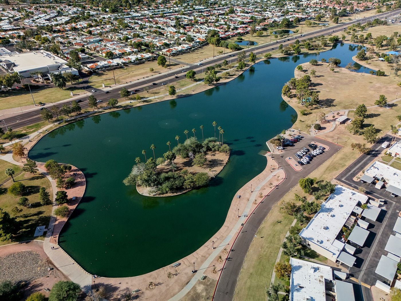
Northeast of the wash lay 4,200 acres where Fowler McCormick — heir to both the McCormick reaper and Rockefeller fortunes — had bred some of the world’s finest Arabian horses. After Anne McCormick’s death in 1969, the land (annexed in 1967 and sold to Kaiser-Aetna in 1970) became the canvas for one of Arizona’s first true master-planned communities. McCormick Ranch opened for sales in 1972: man-made lakes, golf fairways as common ground, greenbelt paths knitted into the wash system, and housing arranged around water in a way that felt revolutionary in the desert (and would be debated forever after).
The Arabian legacy didn’t vanish — Scottsdale’s Arabian horse show, running since the 1950s at Paradise Park, evicted from the ranch in 1978 and at WestWorld since 1989, remains the world’s largest — and the McCormick-Stillman Railroad Park, built on donated ranch land around Guy Stillman’s miniature railroad, became the city’s most beloved kids’ institution.
The rest of the decade, briefly
- Rawhide (1970 or 1971; sources differ): a full fake 1880s town opened up north Scottsdale Road — gunfights hourly — and became a top state attraction for 35 years.
- Scottsdale Community College (1970) opened on Salt River Pima-Maricopa land — its students voted “Artichokes” for a mascot, a protest joke that outlived the protest.
- Preservation grew teeth: the Historical Society (incorporated 1969, the city’s official society from 1970) rallied to save the Little Red Schoolhouse — the Chamber of Commerce took a 25-year, $1-a-year lease on it in 1972, and the Society opened its museum there in 1991.
- Culture scaled up: the Scottsdale Symphony (1974) and the Center for the Arts (opened 1975 on the Civic Center Mall) gave the resort town year-round high culture.
- New screens, a rival mall: the 800-seat El Camino opened on south Scottsdale Road in 1972, Harkins’s art-house Camelview in 1973, the Civic Center’s UA Movies 5 in 1976 (now SMoCA) and the six-screen Scottsdale 6 Drive-In on Community land in 1977, the year Camelview Plaza opened as Fashion Square’s enclosed rival.
- The map stretched again: the 1975 ‘East Shea’ annexation added about 17 square miles toward Fountain Hills; a special census that year counted 78,000 people, on the way to about 88,000 by 1980.
- The politics of growth: a 60-foot height limit (1970), charter powers over developer fees, design review and signs (1973), a growth line north of the canal (1976) and an ordinance to keep building off the McDowells (1977) are told in the 1970s politics chapter.
The city that entered the 1980s had proven it could grow on its own terms. The next test was scale: resorts the size of villages, an airpark becoming a jobs engine, and a beloved mayor whose name would end up on the 1980s.