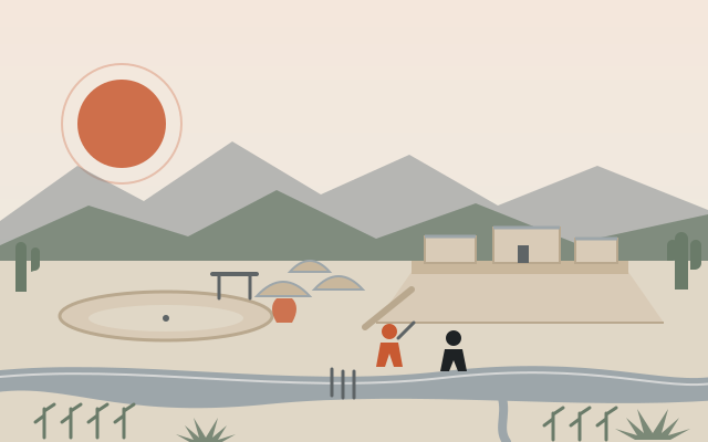
At a glance: Every acre of Scottsdale was somebody’s country for a hundred centuries before it was anybody’s real estate. Archaic hunters camped in the McDowells 8,000 years ago. From about the time of Christ to about 1450, the Hohokam turned the Salt River Valley into the most heavily irrigated place in ancient North America — and planted two ballcourt villages in what is now north Scottsdale. Then the water turned on them. This chapter is what the archaeologists actually know, stripped of the postcard version.
Before the farmers: 8,000 years of camps
The oldest evidence of people in the Preserve is almost 10,000 years old. Mammoth bones have come out of the Salt River gravels, and Clovis hunters were in the Southwest by roughly 9500 BC — but no Paleo-Indian site has ever been found in Scottsdale. The whole record of that era here is one spear point, refashioned from a fluted Clovis-style blade, picked up at a much later Hohokam site during the DC Ranch surveys in 1995.
The Archaic people who followed left more. From about 8000 BC to the first century AD, small bands worked the McDowells seasonally: spear points in rock shelters in north Scottsdale, chipping stations on the south and west slopes, “several Archaic work areas and houses in pits” on the west side of the range, and dozens of bedrock mortars — bowls ground into granite by centuries of mesquite pods and seeds. The Brown’s Ranch rock shelter, a few minutes’ walk from today’s trailhead of the same name, was used from the Archaic straight through the Hohokam and Yavapai periods; test excavations found deep, intact deposits, some possibly as old as 8000 BC.
Around 1500 BC, corn, beans, squash and cotton arrived from Mexico, and some of these people began floodwater farming along the Salt and Gila. That is the hinge of the whole story: the desert was about to become a farm.
The Hohokam: a thousand years of canals
The people archaeologists call the Hohokam (an O’odham word usually rendered “those who are gone”) emerge in the Salt and Gila valleys around AD 1 — or AD 450, depending on how you count the early phases — and are the dominant fact of the region until about 1450. What made them different from every other desert people was engineering.
Working with digging sticks and baskets, they built more than 500 miles of documented canals in the Phoenix Basin, with individual main canals running 16 to 20 miles and serving on the order of 100,000 acres. The biggest trunk lines were more than 50 feet across and up to 20 feet deep; measured gradients ran from 1.2 to 4.8 feet per mile, which is exactly the range a modern engineer wants to keep water moving without scouring the banks. At Pueblo Grande, the headgate village on the north bank near today’s Sky Harbor, as many as ten main canals were in use at once. The American Society of Civil Engineers lists the system as a National Historic Civil Engineering Landmark.
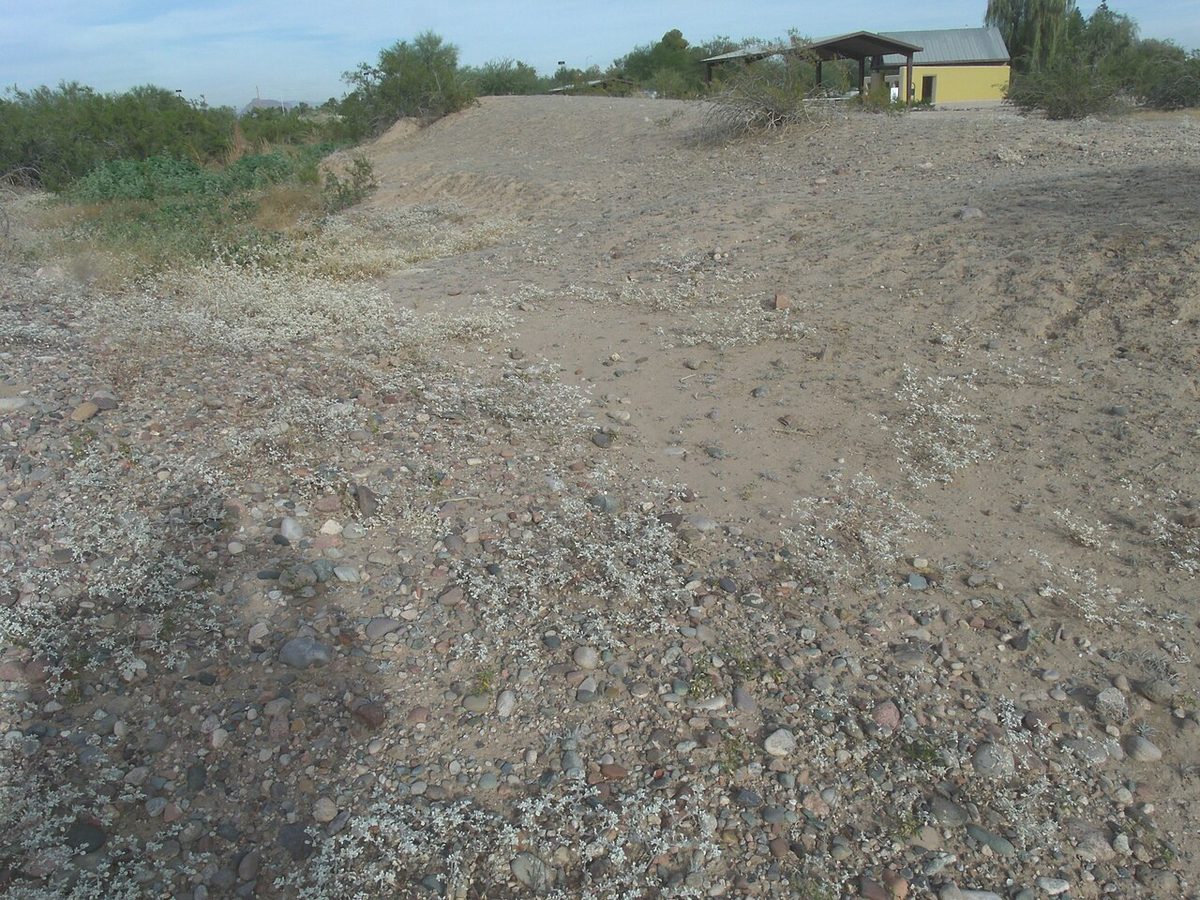
Scottsdale had its own, smaller share. Omar Turney’s 1929 map of the prehistoric network shows a cluster of canals that started at the Salt River to the east and ran west across what is now the Salt River Pima-Maricopa Indian Community into the southern end of the city — what archaeologists now call the “Scottsdale Canal system.” Classic-period farmsteads along the southern foot of the McDowells were tied to it by their pottery. And when the Phoenix pioneers cleaned out an ancient ditch in 1868, the Arizona Miner reported land that “looks as if recently cultivated,” with volunteer cotton, tobacco and castor beans still sprouting in Hohokam fields four centuries after the farmers left.
Upland Scottsdale: agave, rock piles and two ballcourt villages
The north of the city was Hohokam country of a different kind. With no river to tap, the upland villages farmed the bajada with rock-pile fields — thousands of low cairns that trapped moisture for agave and cholla — and roasted the agave hearts in pits that still show up as ashy rings near the CAP canal and at Brown’s Ranch. Agave murpheyi, the “Hohokam agave” they domesticated, still grows wild in the McDowells.
The prize find is Pinnacle Peak Village. In late 1987, graders cutting the Troon Village golf course southeast of Pinnacle Peak turned up pottery, and the landowners, Jerry and Florence Nelson, stopped the machines. Over the winter of 1988 Dr. Patricia Gilman of Arizona State University and more than sixty Arizona Archaeological Society volunteers excavated a village of 100 to 200 pit houses with its own ballcourt, some thirty trash mounds and fifteen cremation pits. Out of the ground came 26 intact vessels, a copper bell with its clapper still inside — cast in central Mexico — 51 pieces of turquoise in a single cremation, amethyst from a Four Peaks mine 29 air miles away, corn cobs, and 1,794 animal bones, 82 percent of them rabbit. People lived here from about AD 300, peaking between 500 and 1150, twenty miles from the Salt and ten from the Verde, on nothing but springs and wash runoff. Three acres were set aside as open space, and the site went to the Archaeological Conservancy in 1991.
A second large ballcourt village, recorded only by its site number, stands in the northern McDowells. Both are “unique for their large size, ballcourt, and upland setting with limited water resources,” in the words of the Preserve’s cultural plan — and both emptied when the regional ballcourt network collapsed around AD 1070, four hundred years before the Hohokam world as a whole came apart.
Then there is the rock art. Two major concentrations of petroglyphs sit along washes and springs on the east and west sides of the McDowells. The state site files list only four petroglyph sites in the Preserve, but a 2007 volunteer inventory counted up to 333 unrecorded panels in one mountainous section alone. The Empie site near Scottsdale Road and Carefree, on the National Register, carries markings that line up with the summer and winter solstices. All told, the Preserve holds 76 recorded sites — 52 of them prehistoric — across 30,000 acres of which only about three-quarters have been surveyed.
The collapse
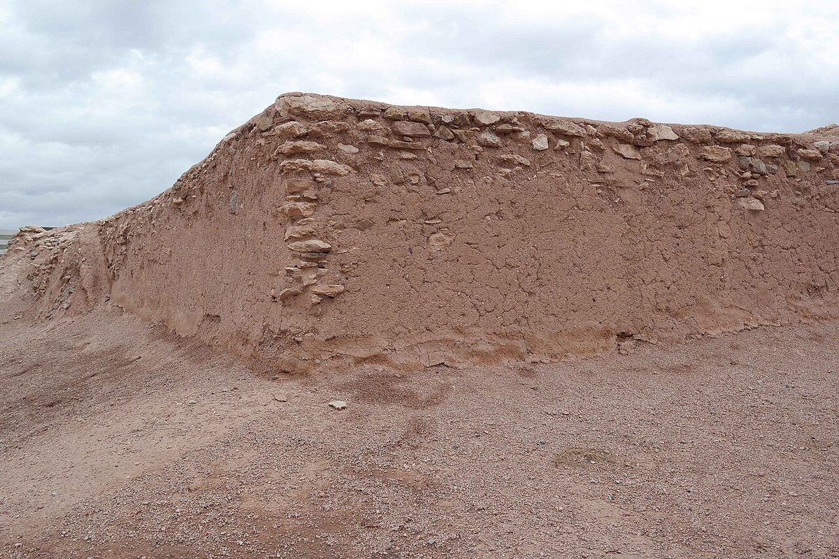
After 1150 the Hohokam built differently: walled compounds, platform mounds, fewer and larger towns. Then the river turned. Canal sediments record three destructive floods between 1000 and 1400 in the north-side trunk canals; after one around 1300, the biggest of them was abandoned and never replaced. Each wrecked headgate meant a year or two with no water, and a farming society cannot skip two harvests forever. Between the early 1300s and the mid-1400s the population fell by more than 75 percent. By about 1375 most of the villages and canals on the lower Salt were empty; 1450 is simply the conventional end date. Drought, salt-crusted fields, disease and political breakdown have all been argued, and the current model is a long unraveling rather than a single catastrophe.
The descendants stayed. The Akimel O’odham and Piipaash who greeted the Spanish on the Gila two centuries later called the vanished builders Huhugam, and O’odham tradition remembers the Salt River villages emptying north and south while the Gila families intermarried with newcomers and became the modern Pima. What happened next — the Yavapai in the McDowells, the Spanish who never quite got here, the soldiers who did — is the next chapter.
Why the Hohokam still matter in Scottsdale today
- The valley was pre-graded. Nineteenth-century canal builders in Phoenix cleaned out Hohokam alignments; the modern SRP system still follows some of them. The Arizona Canal that made Scottsdale possible was the first to break that pattern and cut virgin ground.
- The Preserve is an archaeological district as much as a park. Rock shelters, mortars, agave fields and hundreds of petroglyph panels are the reason the Preserve’s trail plans route around certain washes.
- The name on the map. The O’odham and Piipaash of the Salt River community along Scottsdale’s eastern edge are the living continuation of this chapter.
- The lesson. A society that engineered its way to abundance in this valley was undone by water it could not control — a theme the city has been rehearsing since the 1891 flood and is still rehearsing on the Colorado River.