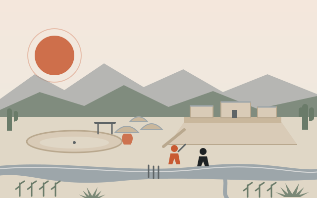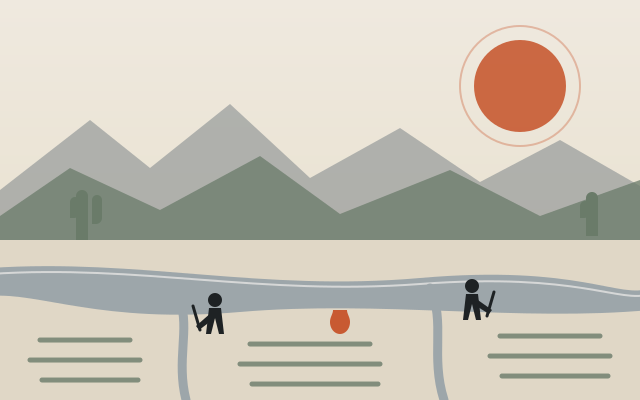
Every later chapter of Scottsdale history rests on this one. The oldest evidence of people in the McDowells is almost 10,000 years old — Archaic hunters’ spear points in rock shelters, bedrock mortars ground into the granite, and at Brown’s Ranch a shelter used continuously from the Archaic through the Hohokam and Yavapai eras. Then, from roughly the first century AD to about 1450, the Hohokam built the largest irrigation network in ancient North America across the Salt River Valley: more than 500 miles of documented canals, the biggest of them 50 feet wide and 20 feet deep, so well graded that nineteenth-century Phoenix settlers simply cleaned out the old alignments and ran water through them again. Their fields grew corn, beans, squash, agave and cotton; their villages traded shell, obsidian, copper bells and macaws across half a continent. Scottsdale’s own share was a small canal system in the far south and, in the northern desert, Pinnacle Peak Village — 100 to 200 pit houses and a ballcourt, exposed by a golf-course grader in 1987.
Around 1450 the Hohokam disappear from the archaeological record — huge floods after 1300, a population collapse of three-quarters, drought and political breakdown all get the blame — but their descendants never left. The Kwevkepaya Yavapai made the McDowells their range. The Akimel O’odham (Pima) and Piipaash (Maricopa) farmed on along the rivers, and in 1879, driven to the Salt by settlers who had stolen the Gila, they were granted the Salt River Reservation — today’s Salt River Pima-Maricopa Indian Community — along what would become Scottsdale’s entire eastern boundary, nine years before Winfield Scott arrived.
The American approach came in stages: Camp McDowell (September 7, 1865) put an Army post, a military road and the Yavapai wars northeast of the future townsite; Jack Swilling’s crews re-dug the ancient canals and founded Phoenix (1867–68); Maricopa County followed (1871), then the railroad (July 4, 1887); and the Arizona Canal (1883–85) finally carried water across the empty benchland where a chaplain would soon stake 640 acres — the story that opens the Founding & Pioneer era.
The chapters of this era
- To 1450 — The Hohokam Millennium: Archaic camps in the McDowells, the canal civilization, Pinnacle Peak Village and its ballcourt, the rock art of the Preserve, and the long collapse.
- 1450–1887 — Homelands & the American Approach: Yavapai and O’odham country, the empires that never came, Camp McDowell and Skeleton Cave, Phoenix and the county, the 1879 reservation, and the canal that reached the bench.
Where to stand in it today
The Brown’s Ranch trailhead in the Preserve puts you within a short walk of an 8,000-year-old shelter, and the corridor of Stoneman’s 1870 military road crosses the north Preserve (a 2011 study found the rutted ‘Stoneman’ segment near the trailhead was actually E.O. Brown’s ranch road; see the road’s page). The S’edav Va’aki Museum (formerly Pueblo Grande) in Phoenix and Mesa’s Park of the Canals show an excavated platform mound and a Hohokam channel, twenty minutes from Old Town. The Arizona Canal Trail through Scottsdale rides the 1885 contour that made the town possible, and the Salt River community’s eastern line is the Pima Road you cross to reach Talking Stick.