The Drinkwater map
Herb Drinkwater took office as mayor in 1980 with a city of 88.6 square miles and a conviction that Scottsdale should own its own horizon. Phoenix had been boxed out to the west by the 1964 truce and the Salt River community lay to the east; north lay tens of thousands of acres of state and private desert running to the Tonto National Forest, with Cave Creek and Carefree the only towns in the way. Between 1981 and 1984 the council annexed it in a series of ordinances — nearly 80 square miles in four years, the city doubling in size — as developers like Lyle Anderson planned golf communities at Desert Highlands and Pinnacle Peak and the state planned the CAP canal across the middle of it.
The last and largest piece was the northernmost. In the summer of 1984 the council annexed about 36 square miles running up to the Tonto National Forest line, and on August 1, 1984 the annexation took effect. Scottsdale measured 181.6 square miles: a city 31 miles long from the Salt River to the forest, larger than Philadelphia, with about 100,000 people living in its southern third.
What the empty two-thirds became
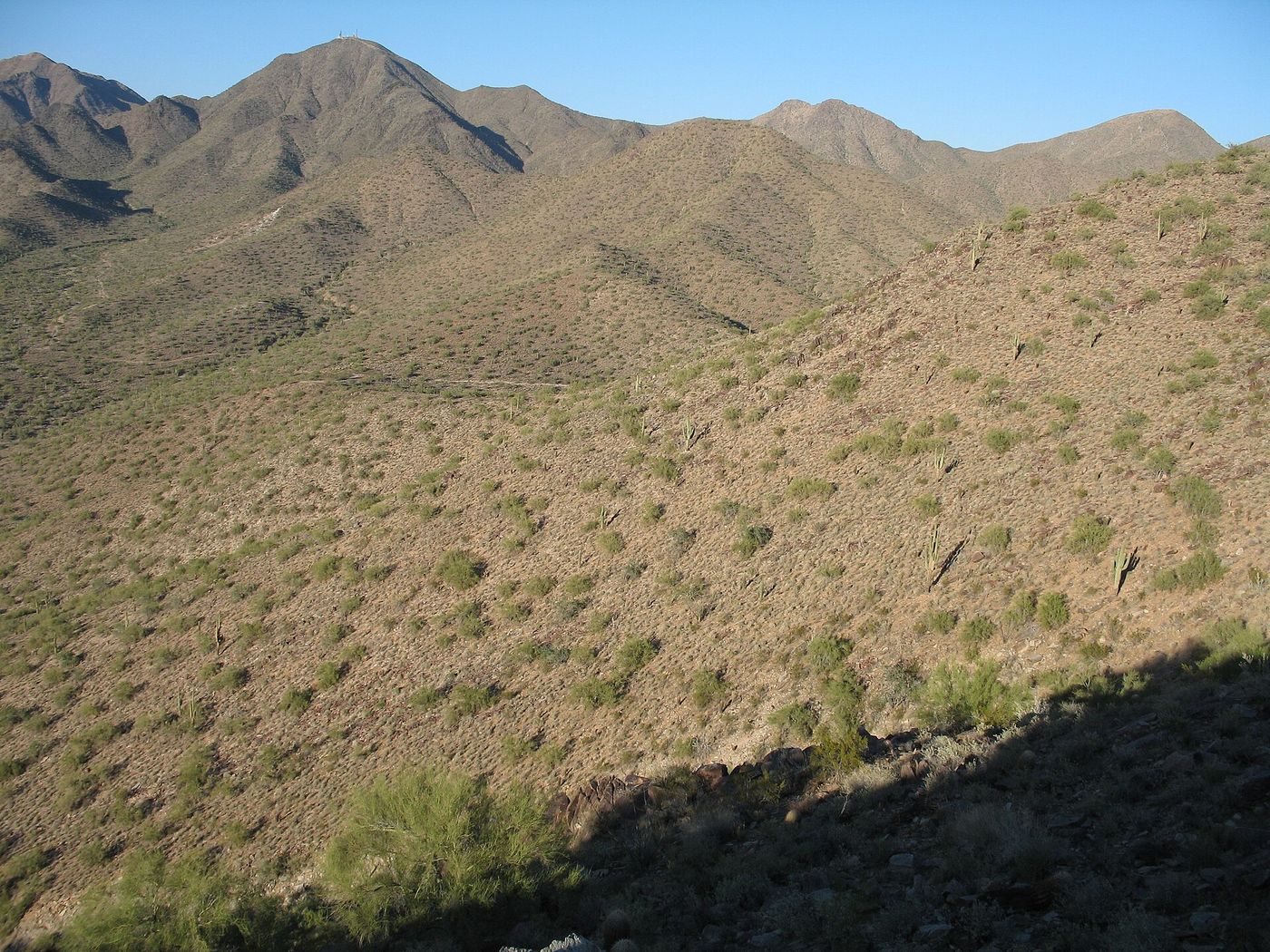
The annexed desert was the subject of the next forty years of city politics. Some of it became the golf-and-gate communities of the north — Desert Mountain, Troon, DC Ranch — that the 1980s chapter follows. A great deal of it became the McDowell Sonoran Preserve: the 1994 council vote that established it, the 1995 and 2004 sales taxes that bought it, and the 2018 charter amendment that locked it, all concern land inside the 1984 line. About a third of the city is now preserve, which is only possible because the city annexed the land before it was subdivided.
The line has barely moved since. Scottsdale today lists 184.5 square miles, the difference a handful of small annexations and one de-annexation. The annexation guide explains how the 1984 map still governs what the city can and cannot do.